
Кратко о проекте
Goals:
- Study the conditions before and after the flood in the territory of Perm Krai.
- Prediction and monitoring of flood.
- Identify the boundaries and areas of probable inundation during preset probability floods and high waters in 8 territories. Develop measures to minimize damage and protect inhabited localities from floods.
Tasks:
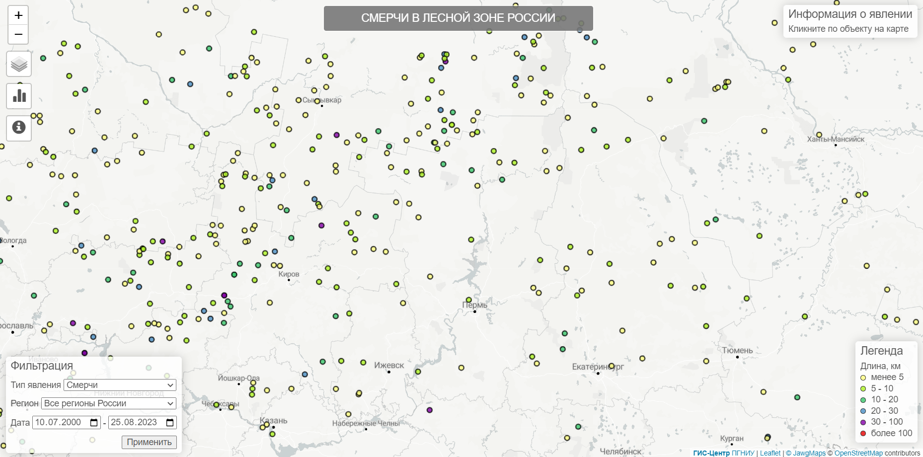
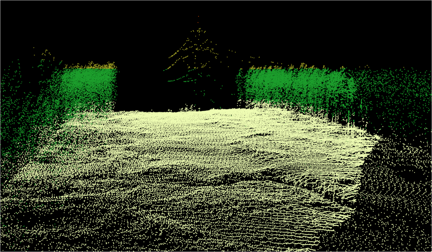
- Assess flood dynamics using the Earth remote sensing data.
- Organize helicopter surveys by routes.
- Identify the boundaries of the snow cover, the snow coverage percentage in the catchment area of the river basins.
- Study the ice conditions on the water bodies; photo ice jams, ice gorges, ice-holes, flange ice.
- Predict and analyze spring tides (high-water periods).
- Identify and photo territories in the flooded areas.
- Identify and photo the cases of the water adverse effect: destruction of river banks, dams, dikes, bridges and other facilities and structures.
- Develop recommendations for the protection of people and socially significant facilities from floods; long-run recommendations for the minimization of damages from floods.
- Identify the boundaries of areas that may be flooded with high probability floods for 8 settlements.
- Create thematic layers of GIS maps.
- Create attribute databases of objects located in the areas of probable flooding.
Results: On-line information, including forecasting and analysis of flood development, the results of flying around; recommendations on flood control measures.


