Geographic information systems (GIS) and technologiesare currently used in all spheres of human activity. Nowadays it is a worldwide multi-billion dollar industry that involves a great number of professionals who master the information space with the latest computer techniques. GIS technologies are involved into a comprehensive analysis of a wide variety of issues, such asan overpopulation and territorypollution, the timberland-cutting, natural and manmade disasters, environmental monitoring, natural resource management, etc.GIS can provide an efficient access to a large amount of information about objects that have spatial reference.
The head of Perm State University as well as the geography faculty pay special attentionto the development of this trend in the Western Urals.
A new specialization “Geoinformatics” within the speciality “Geography” was opendin 2009 at the geography faculty at the University.
“021300.62. Cartography and Geoinformatics “ , the new specialization for Perm State National Research University (PSNRU), was licensed at the geography faculty in 2011.
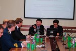
The session of the Academic Council of Perm State National Research University, held on March 28, 2012, establish a Cartography and Geoinformatics Department at the geography faculty of PSNRU.
Most of the applicants, who then become first-yearundergraduates and later get “Cartography and Geoinformatics” bachelor degree, are the scholars of the Governor of Perm region.
The rector of PSNRU has planned to allocate 23 places for budget students and 5ones for extra- budget studentsin 2014.
When training on the specialization, the students master such activities as:the development and design of geographic information systems (GIS), databases and data banks of digital cartographic information; implementation of GIS-based mapping, the creation of electronic maps, atlases; the use of multimedia technologies, virtual, multi-dimensional digital spatial modeling for making production and technological decisions.
The graduates are demanded in different professional activities: public agencies and manufacturing companies operating in the field of digital cartographic modeling, geoinformatics, geodesy, and other cadastral, environmental, geological departments and agencies, research and design offices, publishing firms woking in the field of geoinformatics.
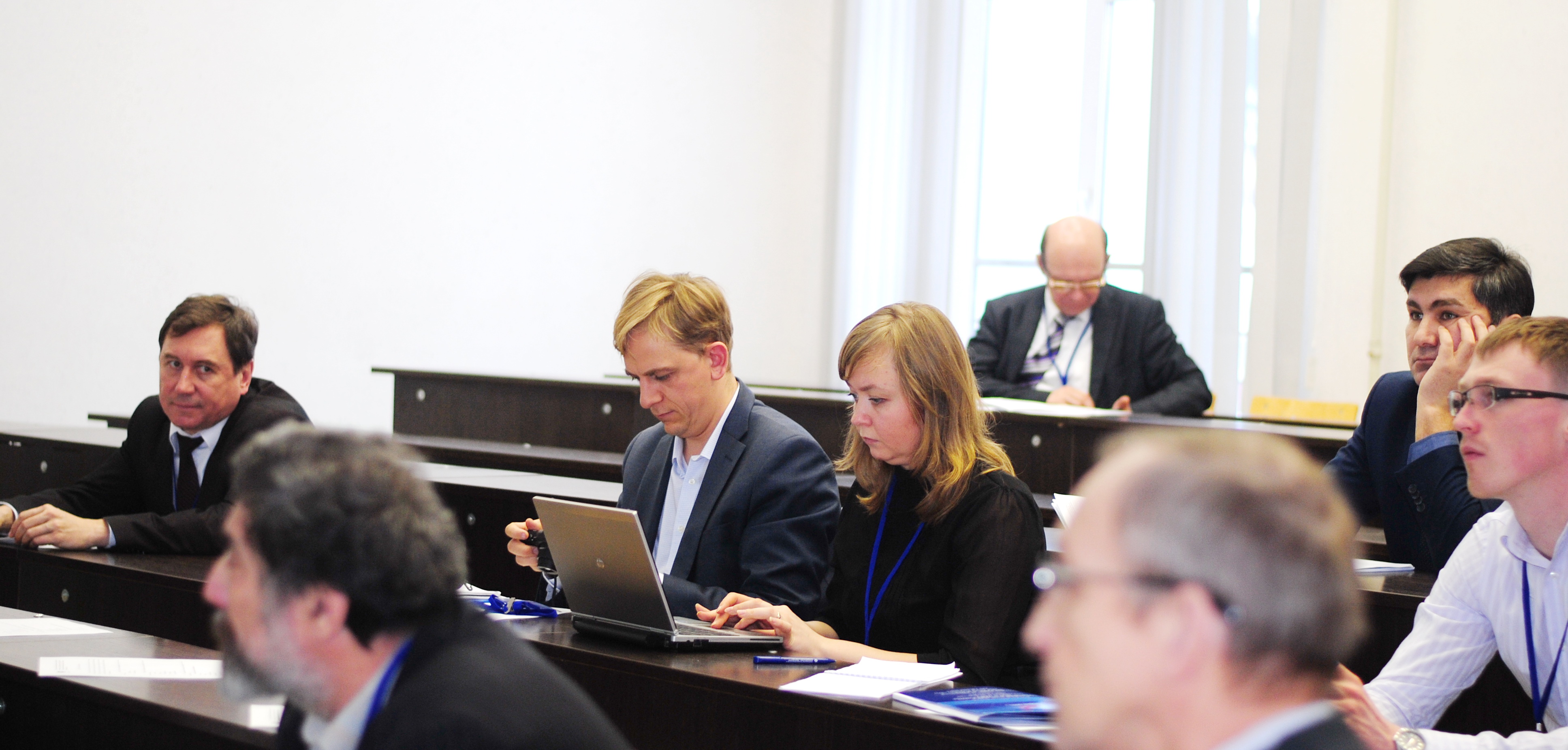
During the education process, students have the opportunity to do practical training in various organizations, including GIS-center of PGNIU and Interregional Center of Space Monitoring of Perm region working on the basis of the university.
Educational and method work of the department
The curriculum is based on the Federal State Educational Standards of High Professional Education (FSES HPE) towards the 021300 “Cartography and Geoinformatics” specialization and includes the educational cycles, each includes a base (mandatory) and variable (profile) part set by the university. The variable partextends the knowledge and skills defined by the content of basic disciplines (modules), allows the student to gain profound knowledge and skills for a successful career or they may get a Master degree.
The humanity, social and economy cycles include the study of such subjects as history, philosophy, a foreign language, sociology, economy, information security, political science, etc.
Math and science cycle includes the study of such disciplines as mathematics, physics, computer science, programming languages, geoinformatics, biology, ecology, etc.
The cycle of professional disciplines includes the following modules: Geography (introduction to geography, physical geography, geomorphology and landscape science, meteorology with the essential principles of climatology, hydrology, soil geography, biogeography), Mapping Foundations (cartography, topography, mathematical cartography, fundamentals of satellite positioning) , Geographical mapping (designing and mapping issues, general geographic maps, environmental maps, maps of nature, atlas cartography), Geographic information systems (databases, the use of GIS technologies in geography, municipal GIS), GIS mapping (fundamentals of GIS mapping,geoiconic, design of computer and electronic maps), Remote sensing in cartography (interpretation of space images, aerospace sensing and photogrammetry, specific issues ofsubject-matter decoding).
The students will learn to use geoinformation, aerospace, advanced telecommunication methods of satellite positioning such as GPS / GLONASS navigation, as well as technology and Internet WEB-mapping for the solutions of the design, manufacturing, monitoring, defense and other problems, they will learn to use the technologies of multimedia, virtual, multidimensional digital spatial modeling for making manufacturing and technological decisions, they will learn how to manage a team of developers or professional users of geographic information systems.
Practical trainingduring the first year of study takes place in the outskirts of Perm, during the second year of studyit is held in the educational- scientific centre “Preduralye” and in GIS center. After the third year of study students have production practice in various government agencies and manufacturing companies that perform work in the field of digital cartographic modeling, geoinformatics, geodesy, aerospace survey, other cadastral, environmental agencies and departments, as well as cartographic and geodetic departments of regional and municipal levels.
Students can get a Master Degree according to “Mathematics and cartographic modeling of geosystems and complexes” curriculum at the department. The education process lasts 2 years.
The graduates of the Cartography and Geoinformatics Department are demanded in the following agencies ofPerm Krai:
- Interregional Center of Space Monitoring of Perm Krai;
- Ministry of the Russian Federation for Civil Defense, Emergencies and Elimination of Natural Disasters Consequences “PA MES of Russia in Perm region”;
- The Kama Basin Water Authority of the Federal Agency of Water Resources;
- Ministry of Public Security of Perm Krai;
- Ministry of Natural Resources, Forestry and Ecology of Perm Krai;
- The Ministry of Construction and Architecture of Perm Krai
- Ministry of Industry, Innovation and Trade of Perm Krai,
- Ministry of Transport of Perm Krai;
- Administration of Perm and Perm region, local governments.
The main scientific areas, developed by the department:
Basic research:
- Geoinformation and mathematical-cartographic modeling of geosystems and complexes;
- Creation and development of subject and atlas mapping methods;
- Development of essential principles of web-mapping;
- Development of theories and models of spatial data infrastructures at the regional level;
- Development of concepts of creating geoportals and web-mapping services;
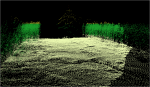
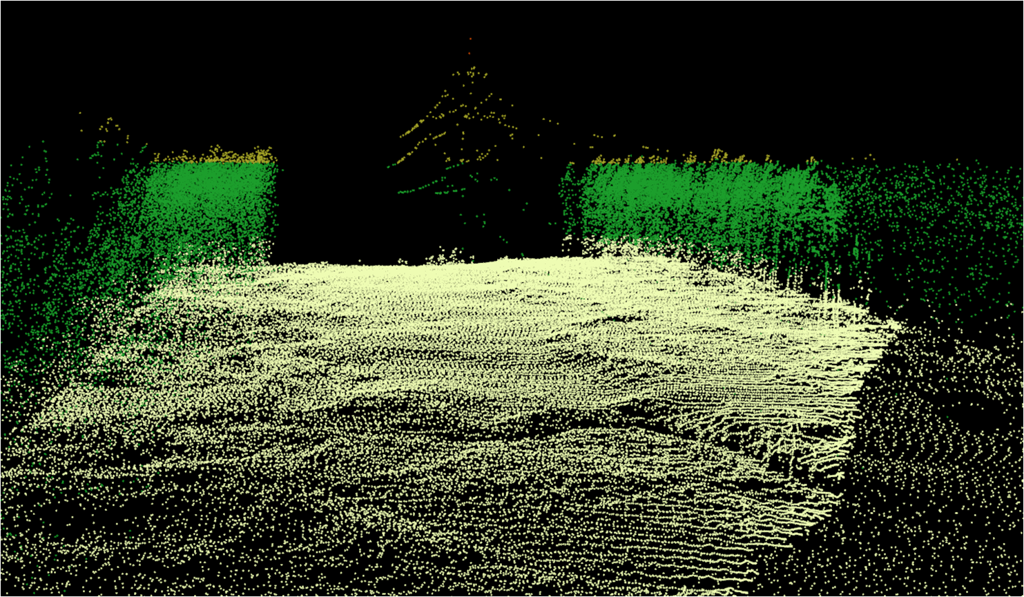
- Development of theoretical thesis ofsubject decoding of the Earth remote sensing data (aerospaceshooting);
- Development of geostatistical methods during the modeling of hydrometeorological processes and phenomena
Applied research:
- Arrangement of Space Monitoring ofPerm KraiTerritory
- Creating and maintaining of the archives of satellite images and remote sensing data interpretation results.
- Designing and creating of geoportals of different hierarchical level and geographic coverage;
- Establishment and maintenance of geographic information systems for special purposes;
- Drafting, updating, preparation for publication, edition, copy in graphics, digital (electronic) and other types of subject maps, charts and atlases for special purposes;
- Performance of research and development activities in the field of GIS technology.
Currently, the department staff read the followingtraining courses “Geoinformatics”, “Geographic Information Systems (GIS)” and “Municipal GIS” in four faculties of PSNRU (Mechanics and Mathematics, geography, biology, and history and political science) for the students of the following directions: “Geography “” Hydrometeorology “,” Applied Mathematics “,” Nature “,” Ecology “Biology,” State and municipal management. ” Perm State University Library is constantly updated with the literature related to the theme of geographic information and GIS technology in solving spatial problems.


