Short Description
Goals:
Provide information of forest fund condition to the Ministry of Industry and Natural Resources and Perm Krai Government. Create a system of satellite navigational monitoring and control of the forestland condition in order to receive information of the environment and on-line and statistical information to ensure efficient implementation of the forest resource management system of Perm Krai.
Tasks:
- Develop instructions for identifying changes through decoding Earth Remote Sensing Data (ERSD).
- Develop a module of automatic identification of changes using ERSD decoding.
- Update the space photograph data bank.
- Form and update information of the forest resource quality and quantity based on ERSD.
- Make an integrated system of experts’ analytical processing of the geodata base of the Perm Oblast forest resources.
- Update the forest mensuration materials.
- Analyze the results and assess discrepancies between the forest mensuration information and actual cutting areas in the forest.
- Assess the damage caused by illegal felling.
- Maintain continuous monitoring of forest use in the Perm Krai territory.
Results:
The ‘Space monitoring of Perm Krai Forest Fund Condition’ software will allow:
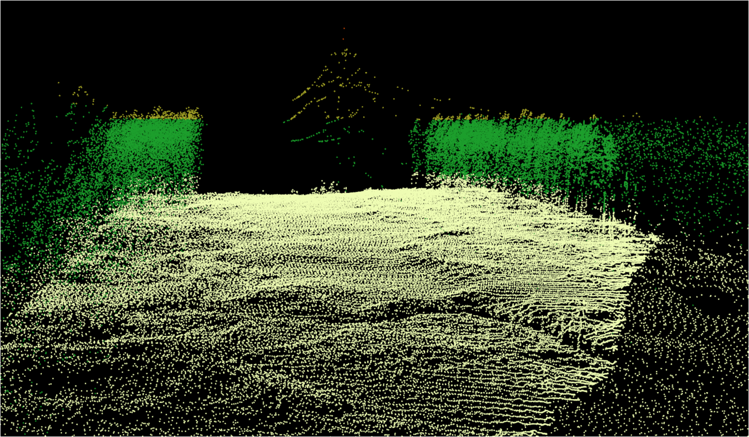
- automatic decoding of remote sensing data;
- continuous monitoring of the forest fund condition;
- identification and assessment of damage caused by illegal felling;
- retrospective analysis of forest fires and consequences thereof;
- identification of forest fund areas unsuitable for forest fund users;
- provision of registration and cartographic materials on the availability, condition and location of forest resources and changes in the forest fund to the forest management agency;
- optimization of forest management in Perm Krai.


