Short Description
Goals: creation of a two-level (regional and local) system of space monitoring of the agricultural lands in Perm region to provide the client with timely and reliable information of the condition and development of main crops, efficiency of land use.
Tasks:
- Develop a cartographic and attribute database of agricultural lands to consist of cartographic and attribute (general information of the farm, general information of fields, agrochemical information of fields, information of fertilizer usage, information of crop yield structure) information blocks.
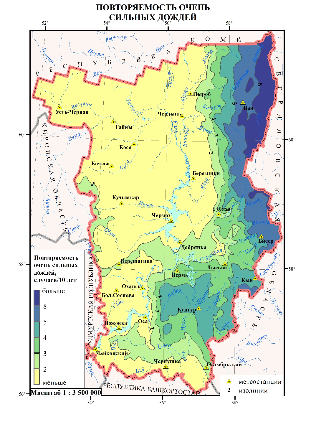
- Organize a system of space monitoring of the agricultural lands in Perm region.
- Adapt the crop yield remote prediction method to the Perm region conditions. Draw equations of crop yield prediction.
- Develop a system for making information prediction products based on the remote sensing data.
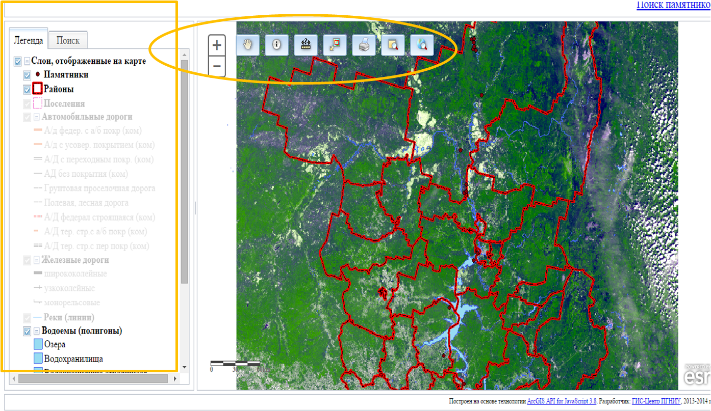
- Develop a WEB-site to provide an on-line user access to the remote sensing data processing products.
Results:
cartographic and attribute database of agricultural lands made in tabular form in hard copy and on electronic carrier. Web site.


