LECTURER: CHEREPANOVA EKATERINA S.
OBJECTIVES:
The aim of this course is to train the use of geographic information systems and technologies, software and information support, the ways and methods of design and operation of geographic information systems (GIS), the use of GIS for data processing of the Earth remote sensing. The course is designed to develop the skills of practical activities in this area among the students.
Tasks:
1. To teach to develop and to design GIS, databases of digital cartographic information;
2. To perform GIS mapping, to create electronic maps and atlases and other cartographic works;
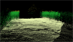
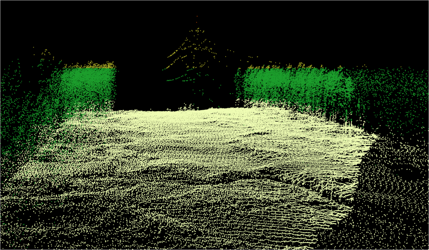
3. To use GIS for remote sensing data processing and other geographic representations;
4. Operation and modernization of GIS and their mapping subsystems.


