Short Description
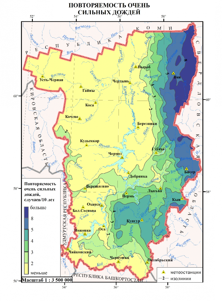
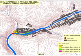
The project involves the investigation of dangerous hydrometeorological phenomena on the territory of the Ural Prikamye. A comprehensive approach that involves receiving and processing station, satellite and model data in near real time will be appliedin the investigation of hydrometeorological processes at the regional level. Data analysis and modelling will be performed by means of GIS-technologies, taking into account the characteristics of the underlying surface. Over the short-range (3-12 hours) forecast of dangerous and adverse hydrometeorological phenomena in the study area will be made on this basis. Thegeographic information system ArcGis (desktop and server versions) will be used as a platform to complete the project, and software modules for processing of hydrometeorological information will be created in the framework of this system. The numerical model of the atmosphere WRF/ARW will be used for over the short-range forecasting of hazardous weather phenomena. An extrapolation forecast will be based on satellite data (Terra/Aqua MODIS, NOAA, MetOp). The assessment of damage from hazards to forest resources will be performed on the satellite data of medium and high resolution (LANDSAT-8, SPOT-5, EROS-B) for example, for revealing massive windfalls in forest areas, delineation of flooded zones. In order to efficiently provide consumers with information about the expected dangerous events specialized hydrometeorological geoportal will be used, andthe results of the hazardous weather phenomena forecast and space monitoring data will be published there. The proposed solution will be implemented for the territory of the Ural Prikamye, but they may be relevant for other regions of Russia.

