Short Description
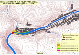
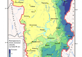
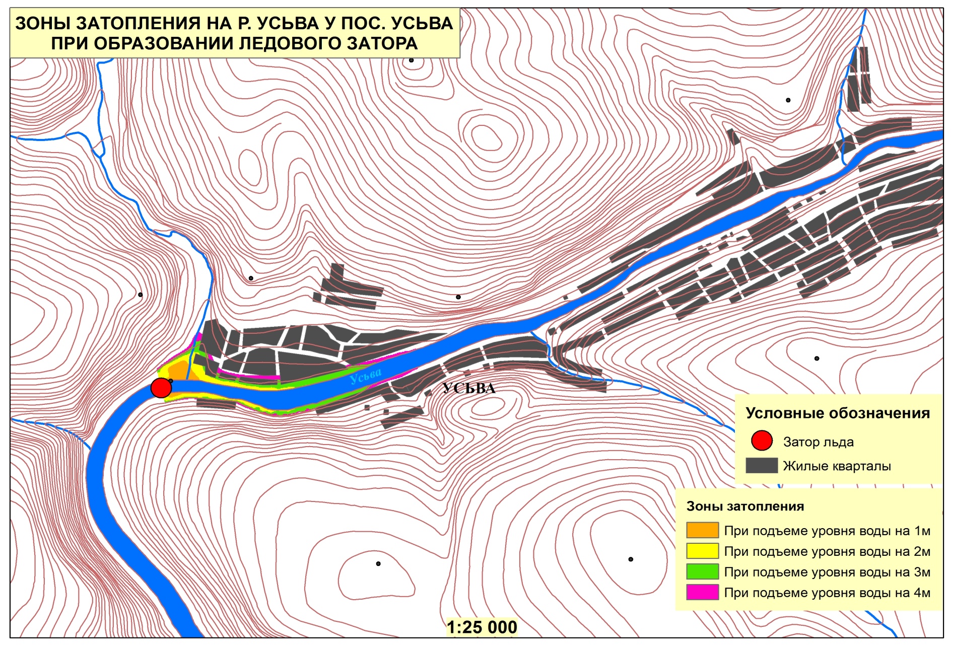
The project involves the study of the snowmelt processes based on an integrated approach, which involves the joint use of remote sensing, spatial-temporal analysis and mathematical and cartographic modeling. A mathematical-cartographic model (MCM) is planned to be created on the basis of the Earth remote sensing data (ERSD), surface meteorological observations. The present model will calculatethe spatial intensity distribution of snowmelt and the intensity of the water flow in the rivers catchment areawith a daily interval and define the dates of snow cover. Using modern map material, digital elevation models (DEM) and the Earth remote sensing data we will assess the influence of various physico-geographical conditions and anthropogenic factors on the spatial-temporal distribution of the of snowmelt intensity.
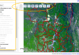
Satellite images of low and medium resolution from the NOAA, Terra and Aqua satellites are planned to be usedfor complex spatial-temporal analysis of the snowmelt intensity in the rivers catchment areas. These satellites provide information on a vast territory several times a day, which helps you quickly assess the snowmelt intensity. In addition, for the space images from the Terra and Aqua satellites there isan opportunity to get thematic products (temperature of the underlying surface, the mask of snow cover, etc.) using specialized algorithms of calculation.


