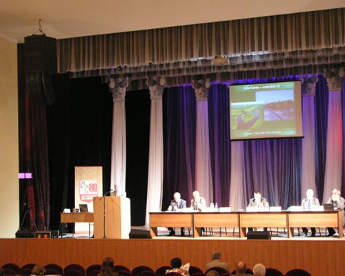
InterCarto – InterGIS 15 (2009)
-
SUSTAINABLE DEVELOPMENT OF TERRITORIES:
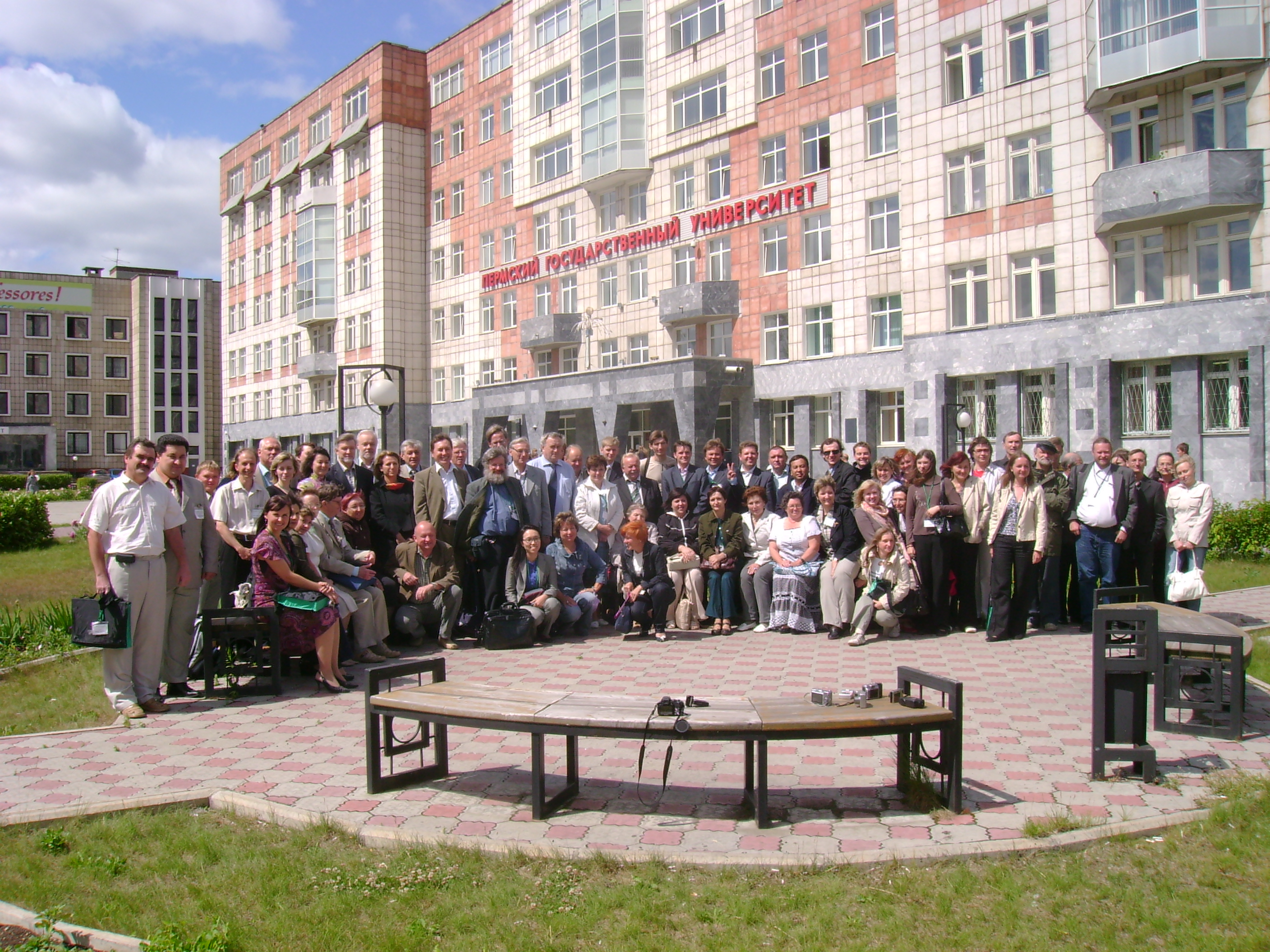
GIS THEORY AND PRACTICE29 June – 1 July 2009
Perm (Russia)
3 July - 5 July 2009
Ghent (Belgium)
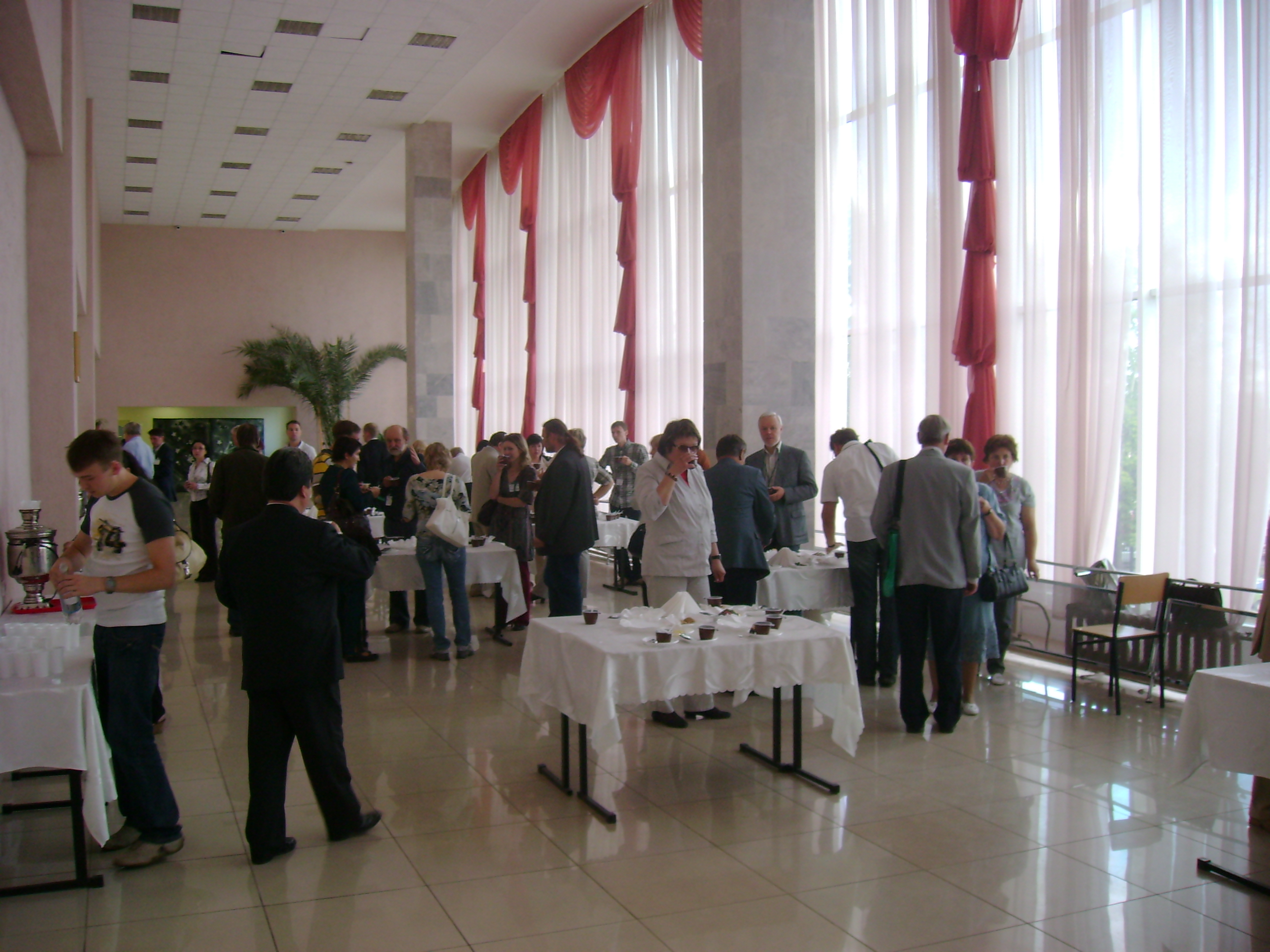
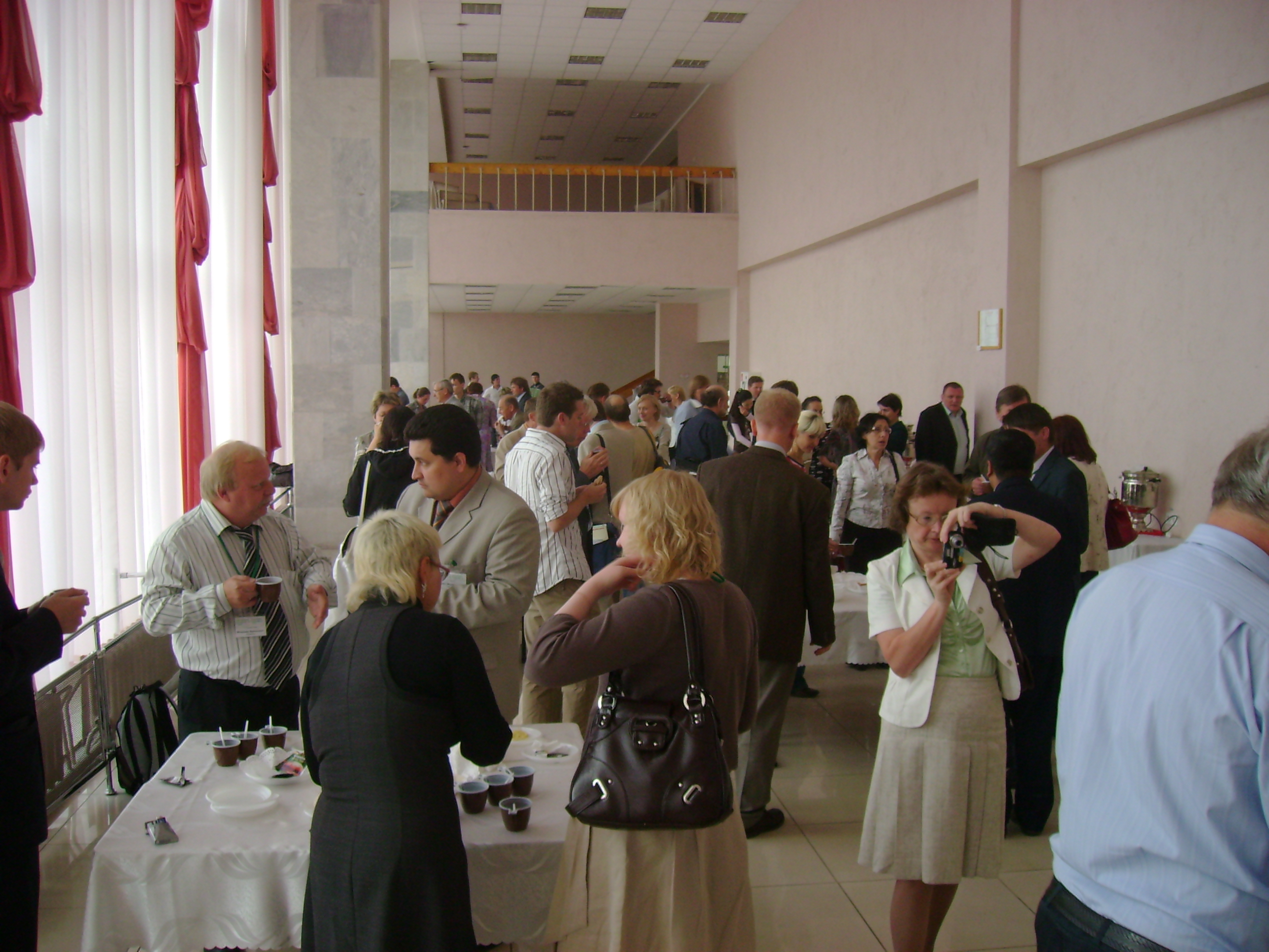
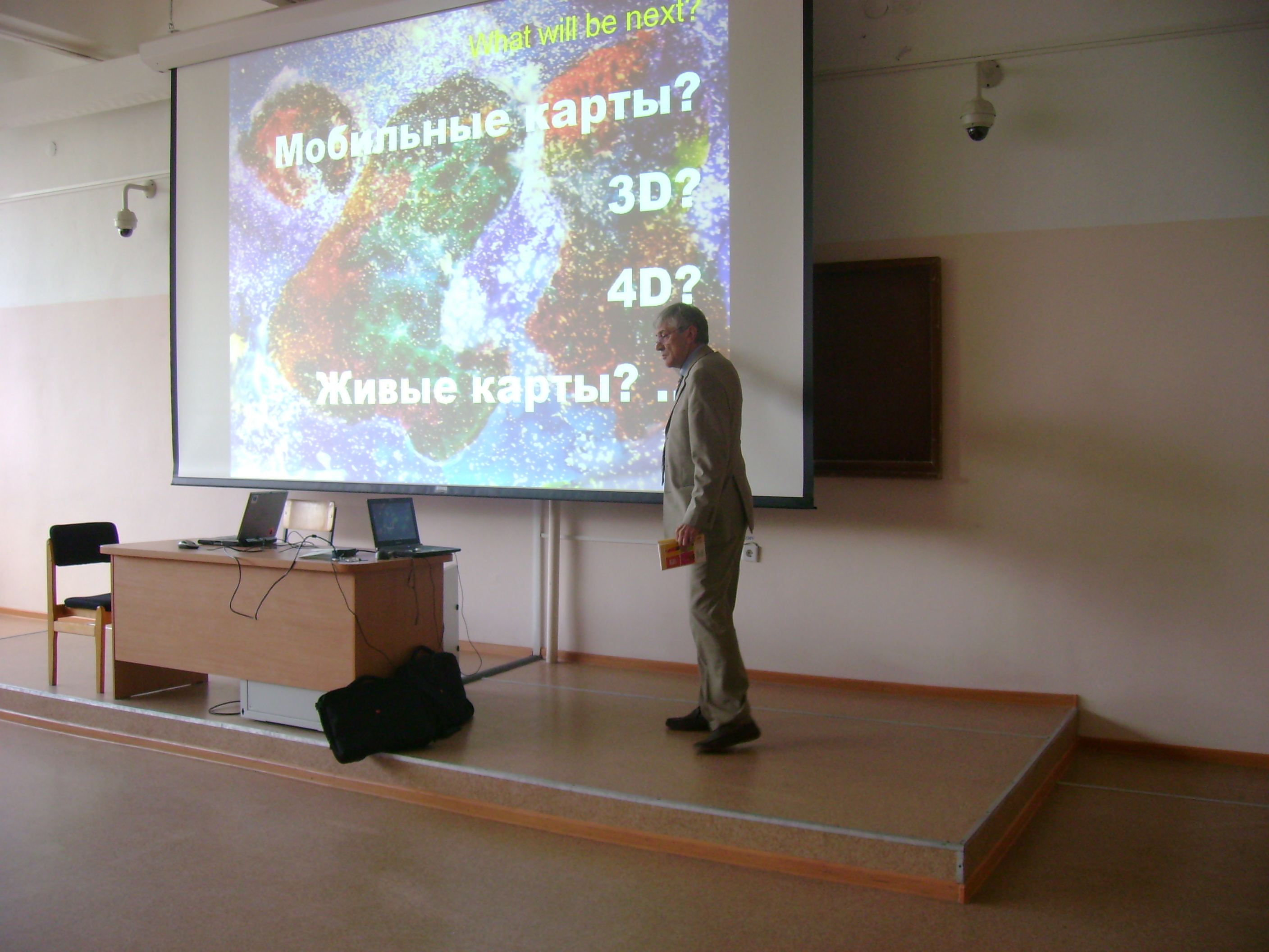
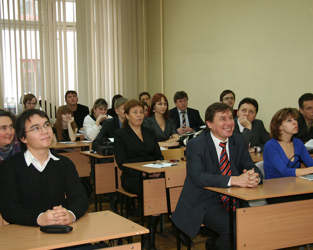
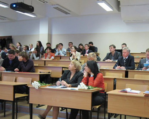
International Cartographical Association (ICA), Commission on Geographical Information Sciences (International Geographical Union), CODATA, International Eurasian Academy of Sciences, GIS-Association (Russia), Lomonosov Moscow State University, Perm State University, Ghent University (Belgium) are organizing the International Conference “InterCarto-InterGIS 15”. Scientists and professionals specialized in the field of sustainable development of territories and the ones dealing with Earth and society sciences where geoinformation systems are applied are encouraged to attend the Conference.The Conference “InterCarto-InterGIS 15” will address the following themes:
- GIS support of sustainable development of territories (including theory, geopolitical processes and territories management);
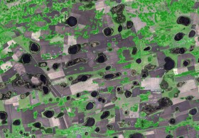
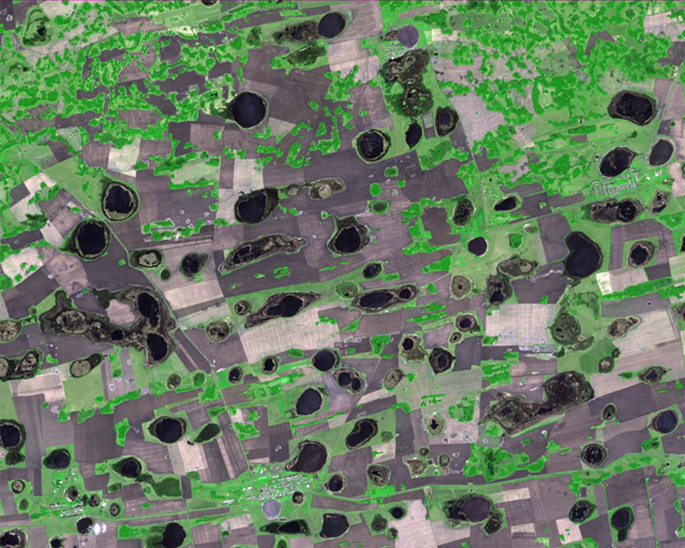
- Remote Sensing and sustainable development of territories;
- GIS support for solving the water-ecological, geological and geophysical problems;
- GIS and business;
- Sustainable development and tourism (problems and perspectives);
- Spatial data infrastructure;
- GIS-education for sustainable development.
For registration, please, state your full name, place of work, your telephone number, e-mail, fax number, academic degree, academic title, report title (the name of the reporter, co-writers). You can download the registration form in .doc here.
It is quite possible to organize an exhibition during the time of the Conference. The exhibition may be devoted to the following themes – GIS-projects, GIS-technologies, equipment and computer support, digital maps and other GIS-products, GIS learning materials, consulting, books, periodicals and many other things connected with geoinformation systems support.
For Conference participation it is necessary to fill in the registration form and send it to the Organizing Committee up to 15 April 2009. For exhibition participation you should fill in the Application Form for exhibition up to 15 April 2009. Payment for exhibition participation is negotiable.
Additional information is available on the websites http://www.psu.ru; http://intercartogis.org/.
Meetings of InterCarto are supposed to be held during the time of the Conference.
The official languages of the Conference are the following: in Perm – Russian and English (on demand), in Ghent – English.
The reports should be sent to the Organizing Committee up to 15 April 2009 on e-mail gis@psu.ru. Secretary – Oksana Sukhova. Please send a copy of the report on e-mail ocat@geogr.msu.su (Olga Ivanovna Kotova), otherwise the report may not be taken into consideration.
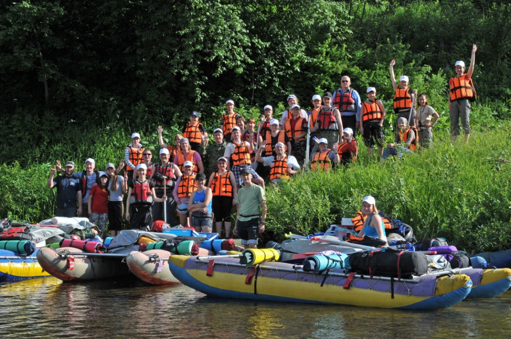

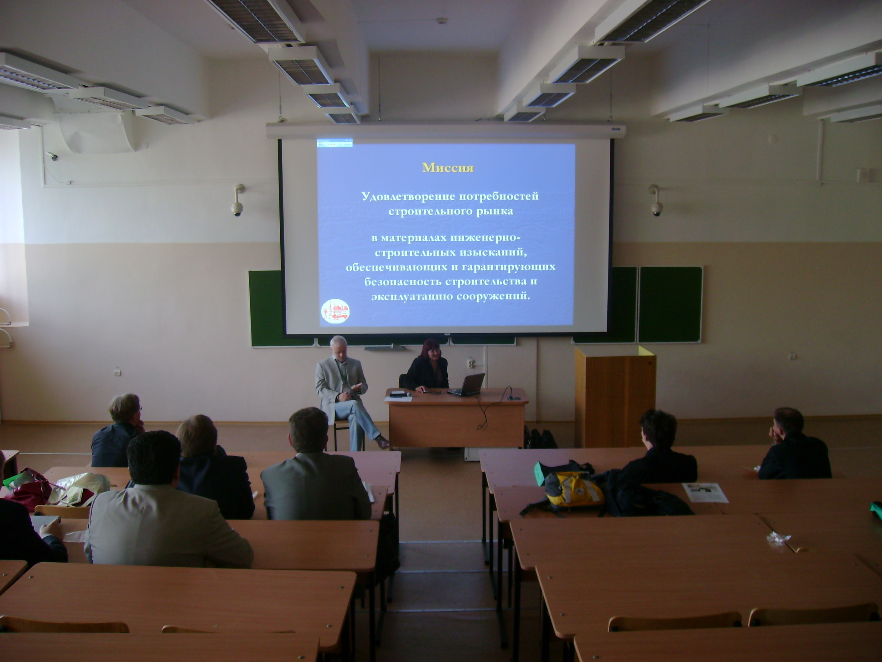


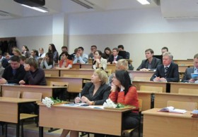
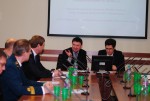
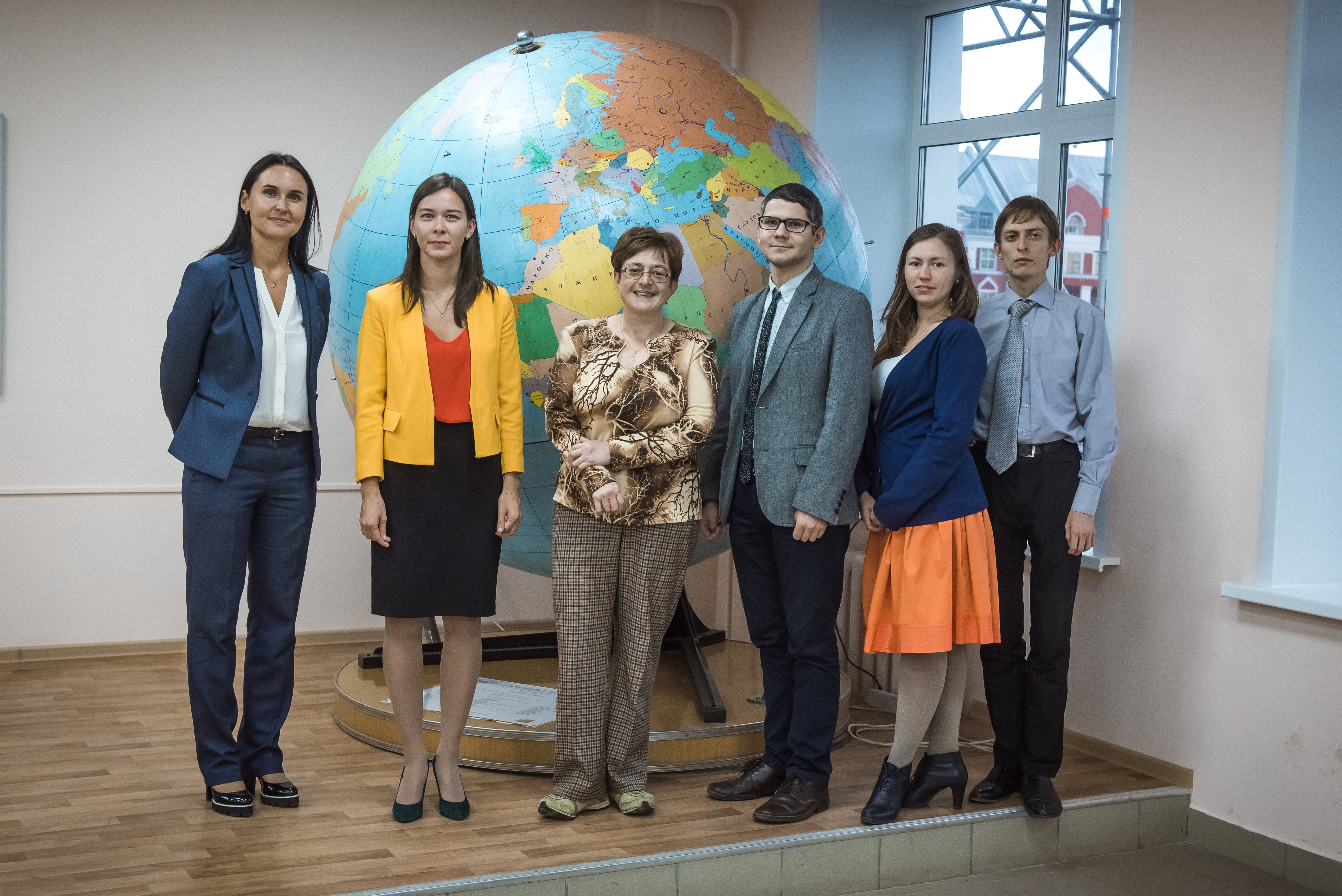
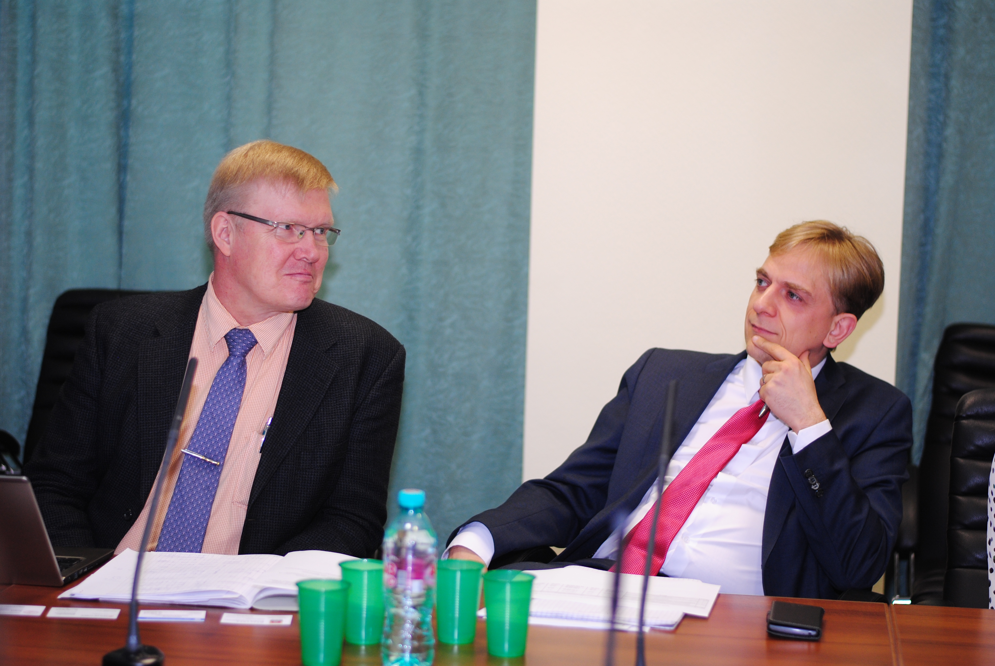
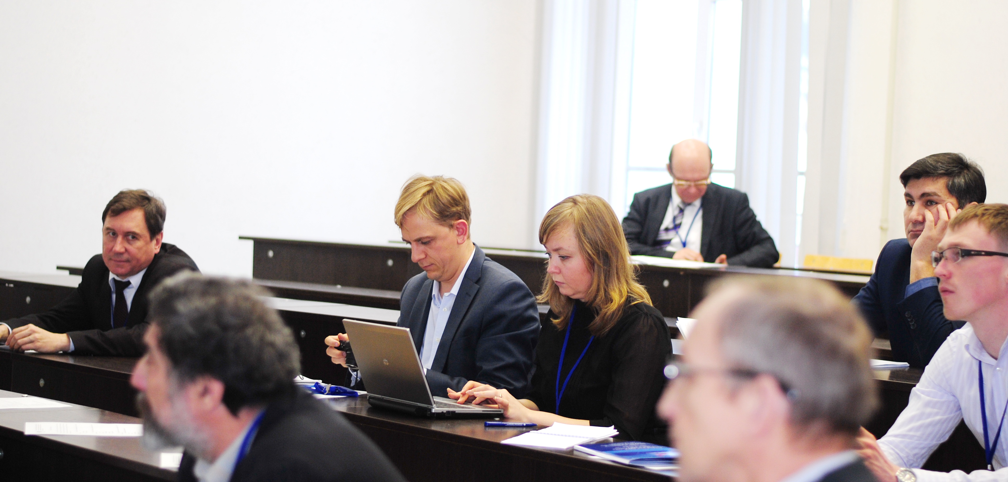
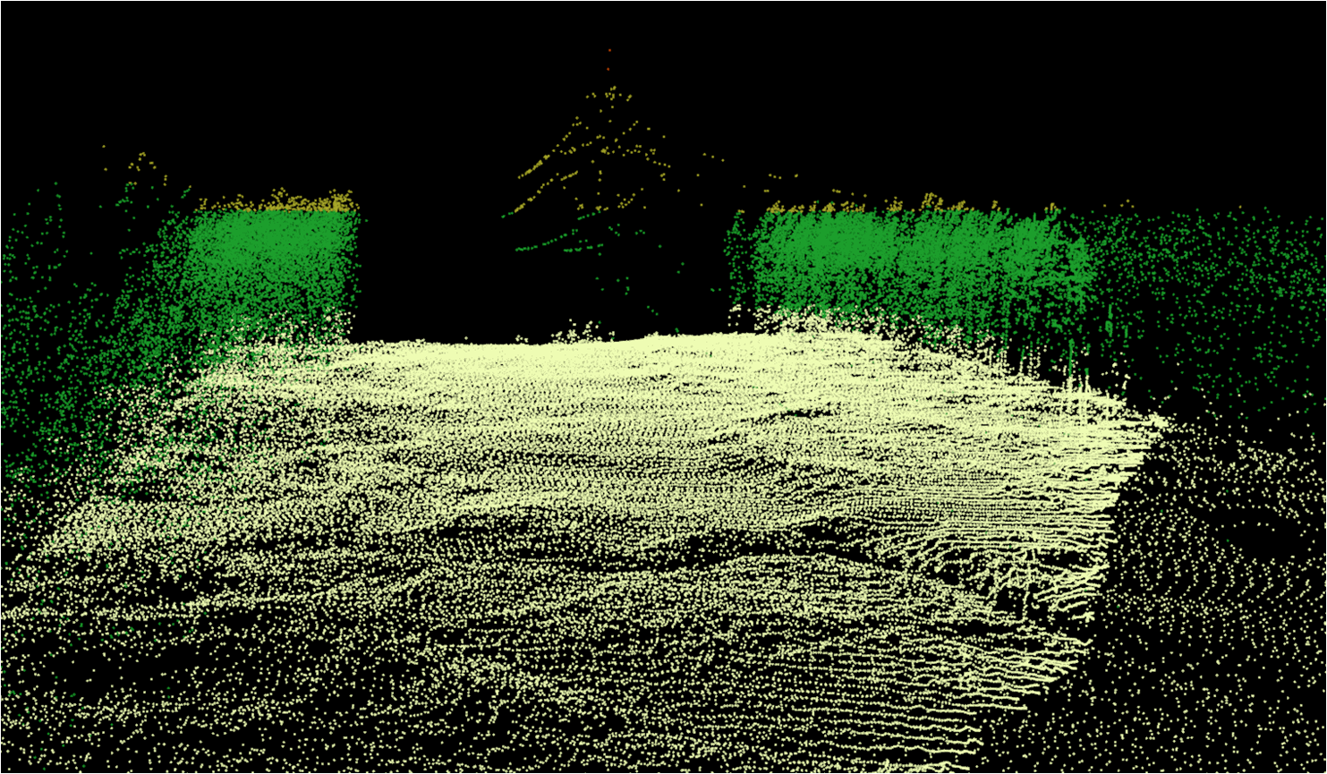
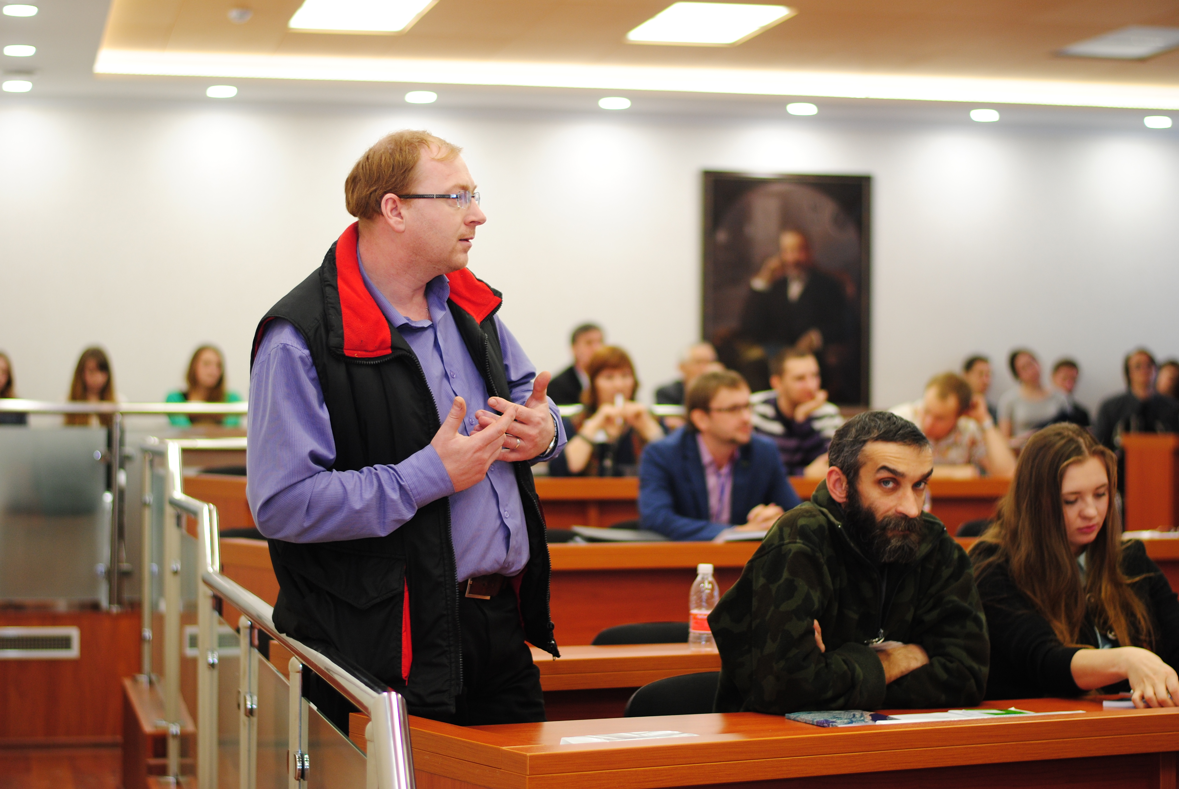
Activities
Геоинформационное обеспечение пространственного развития Пермского края (2013)
Центр географических информационных систем и технологий Пермского государственного национального исследовател...
Геоинформационное обеспечение пространственного развития Пермского края (2012)
Центр географических информационных систем и технологий Пермского государственного национального исследователь...
Геоинформационное обеспечение модернизации России и стран СНГ. Организационный, технологический и кадровый потенциал (2011)
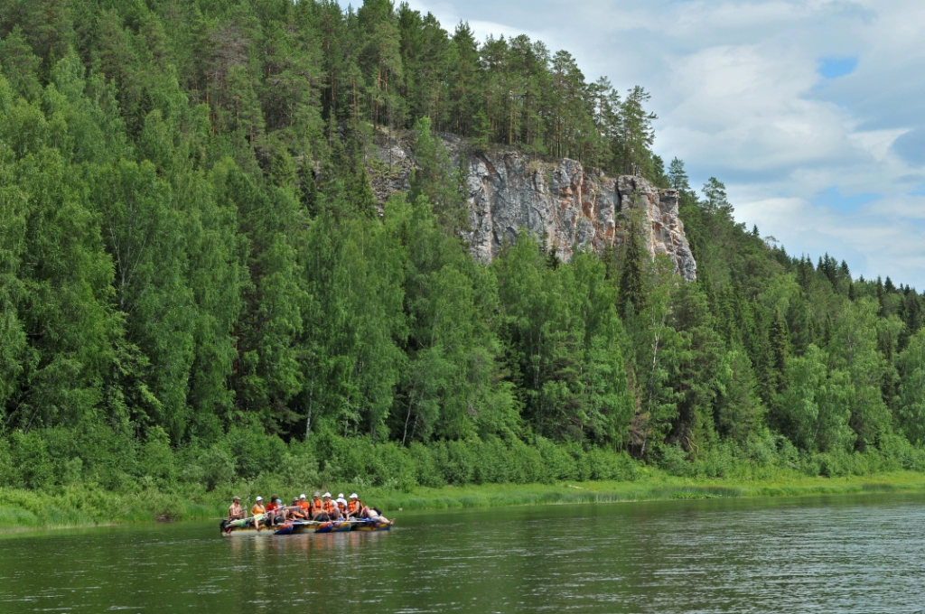
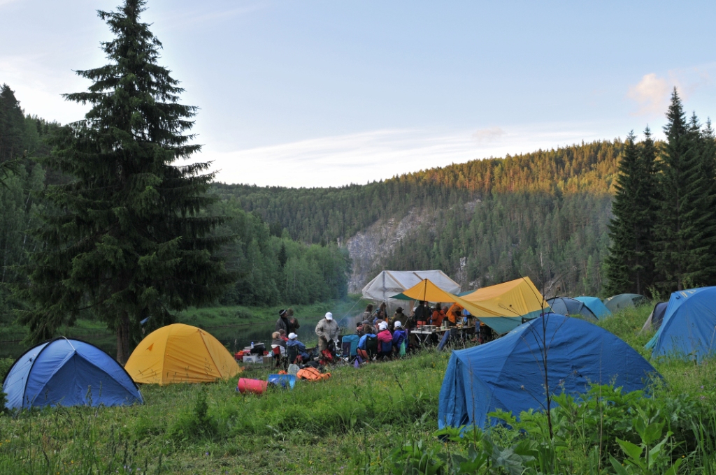
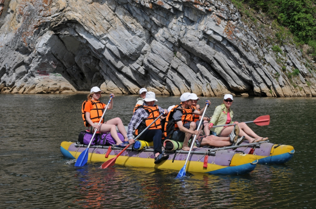
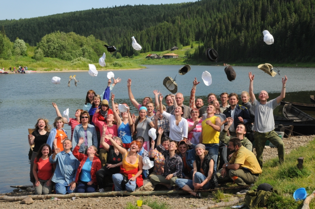
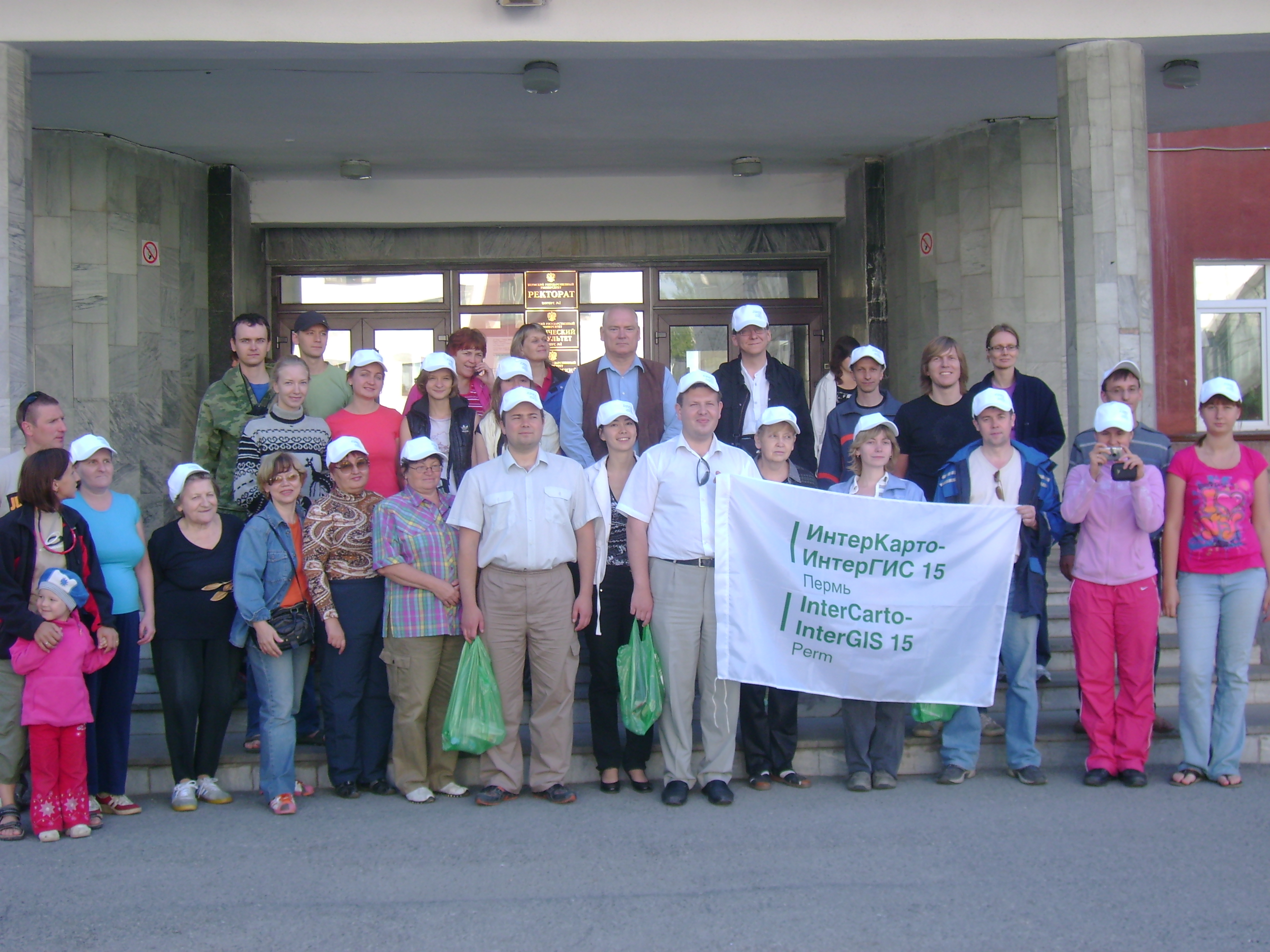
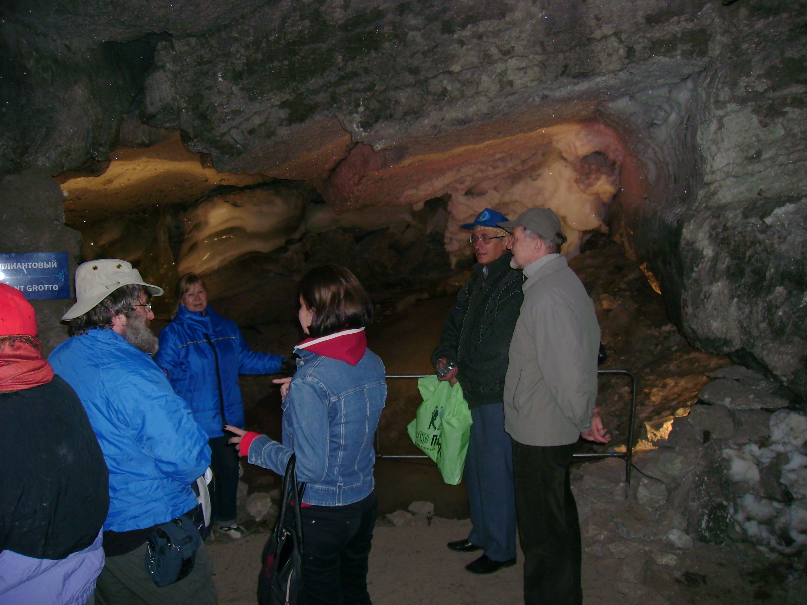
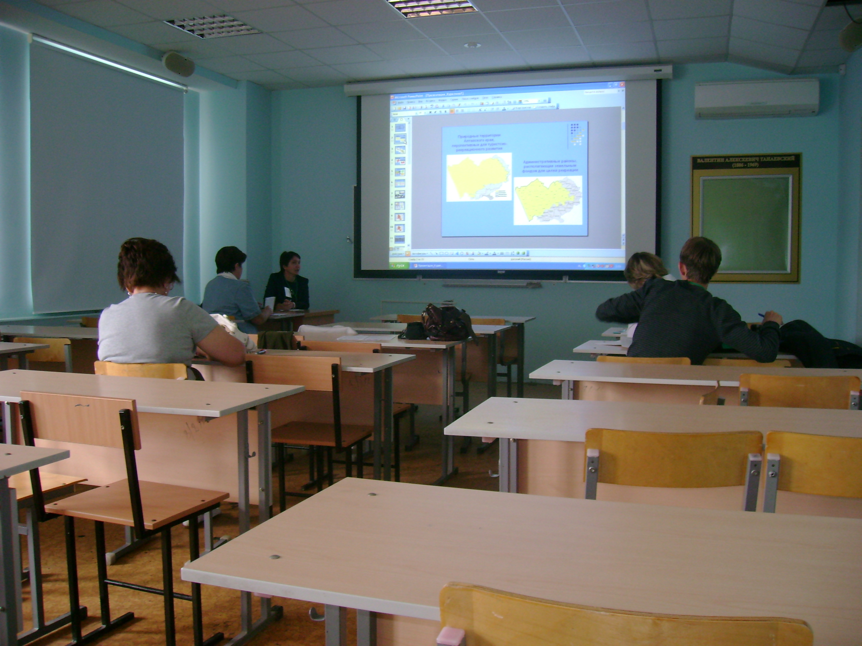
С 25.09.2011 г. по 09.10.2011 2011 г. на территории Российской Федерации по маршруту теплохода Пермь – Казань ...


